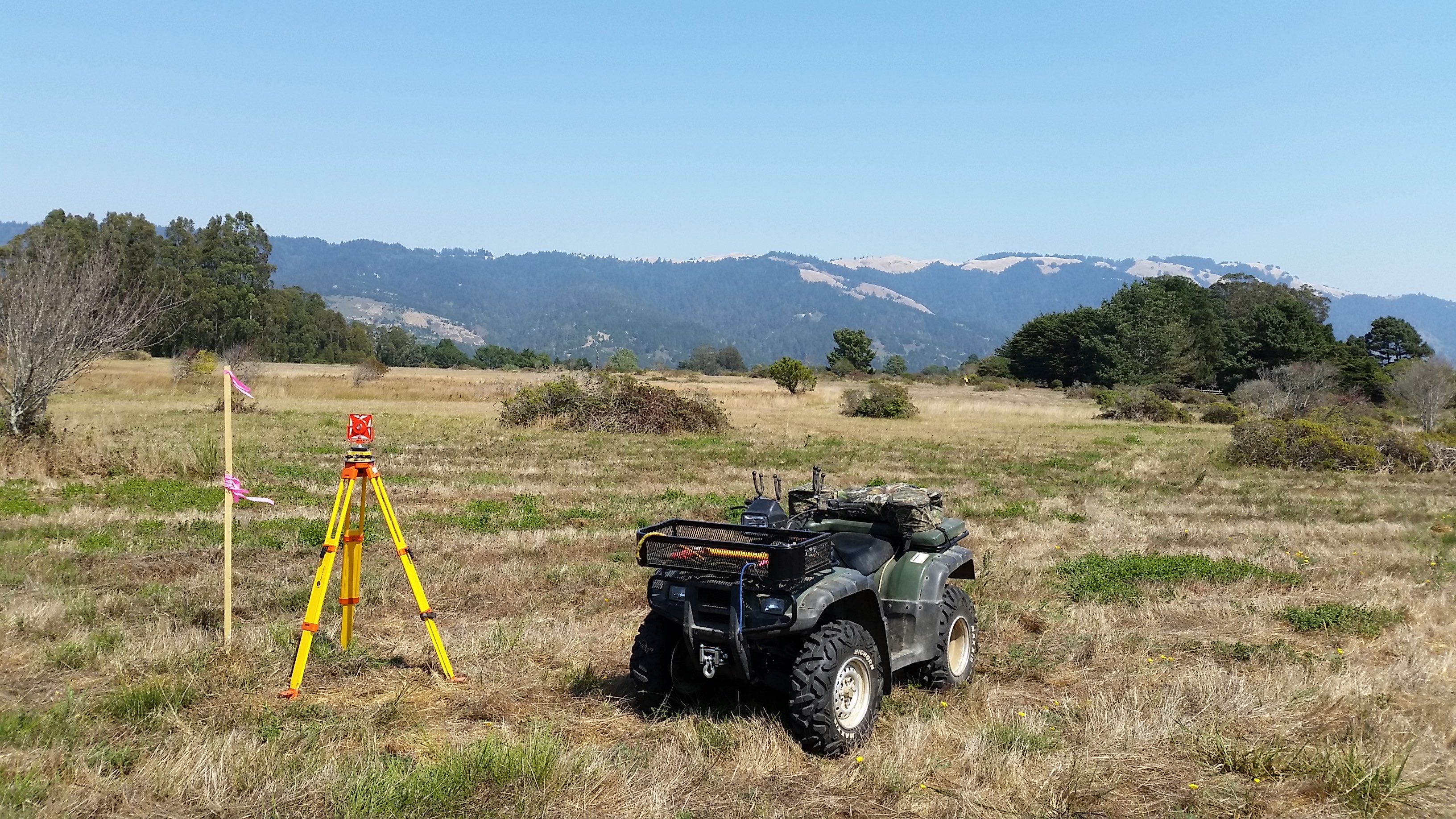
Boundary & Property Surveys
A boundary survey locates, verifies, and marks the exact legal property lines of a piece of land. It's essential for resolving neighbor disputes, installing fences, or preparing for construction projects.

Providing precise mapping to homeowners, builders, engineers, and developers across all nine Bay Area counties.
A boundary survey locates, verifies, and marks the exact legal property lines of a piece of land. It's essential for resolving neighbor disputes, installing fences, or preparing for construction projects.
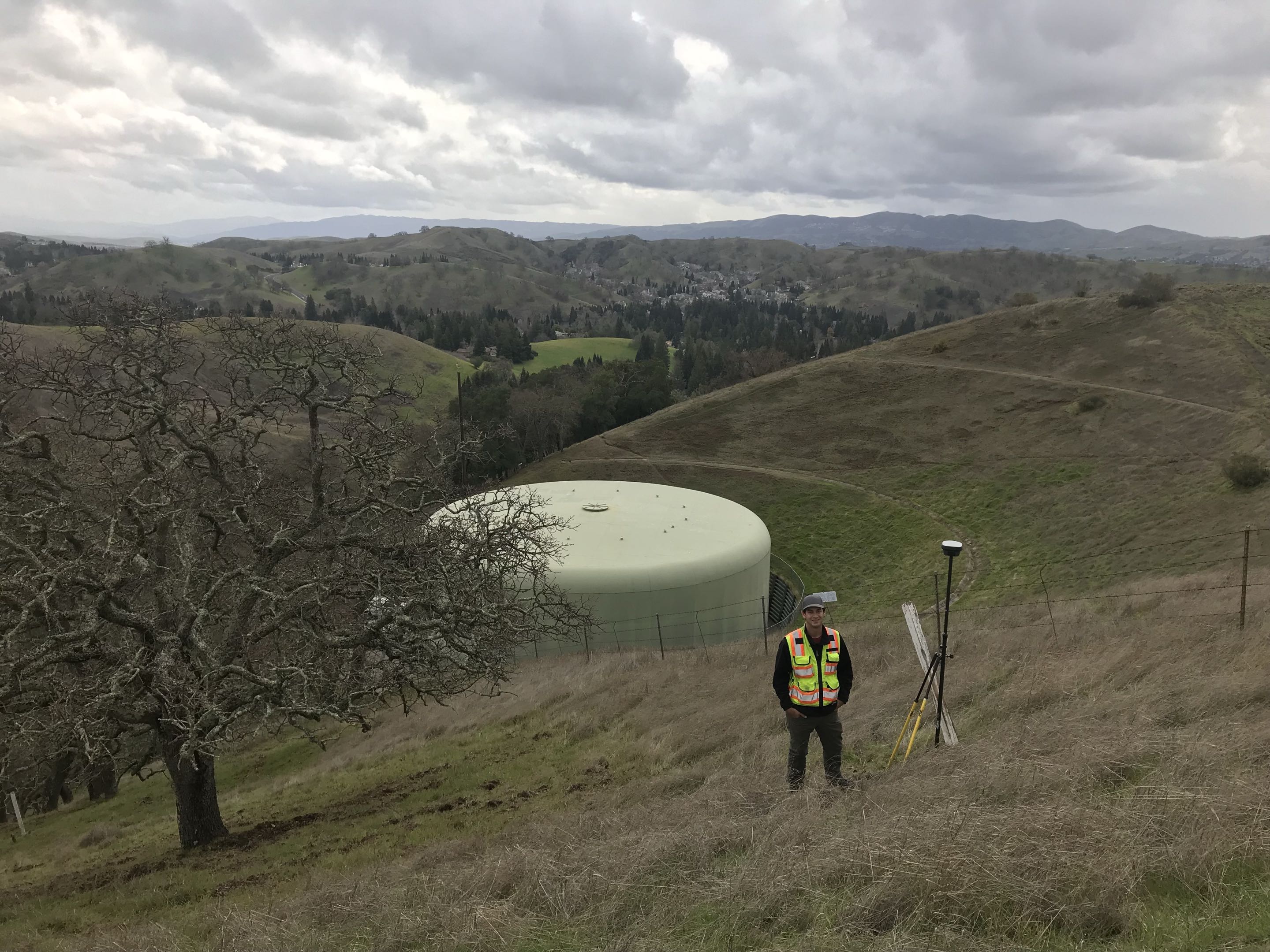
Elevations, contours, and site features captured in detail, so your engineer or architect designs from real ground conditions.
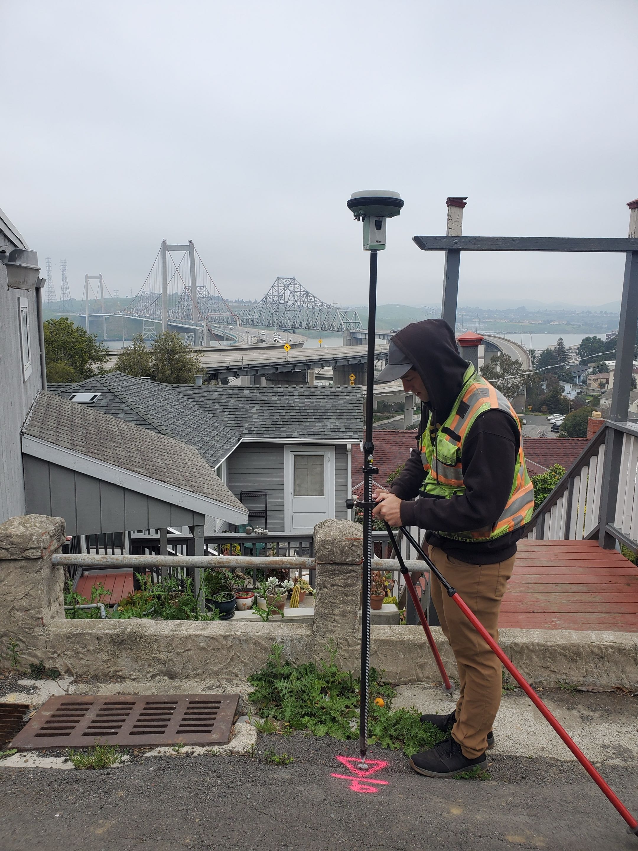
Buildings, grading, and utilities marked in the field so crews build exactly where the plans say, at every phase.
Reconfigure existing boundaries or divide a parcel into new lots, carried through agency review to recordation.
Define and record rights for access, drainage, or utilities, with the plats and legal descriptions to make them enforceable.
Document a building's elevation and flood zone on FEMA's standard form — for flood insurance, lenders, and permitting in flood-prone areas.
Not sure what you need? Talk it through and we'll help you scope the right survey — or point you to the right resource.

About
Headlands Surveying provides accurate boundary, topographic, and construction surveys for homeowners, architects, engineers, contractors, and developers across all nine Bay Area counties. From the first call to the final recorded map, we keep communication clear, turnarounds dependable, and every measurement precise.
About Headlands →Describe what you're planning and we'll tell you what's actually required — and what it will take to get there.